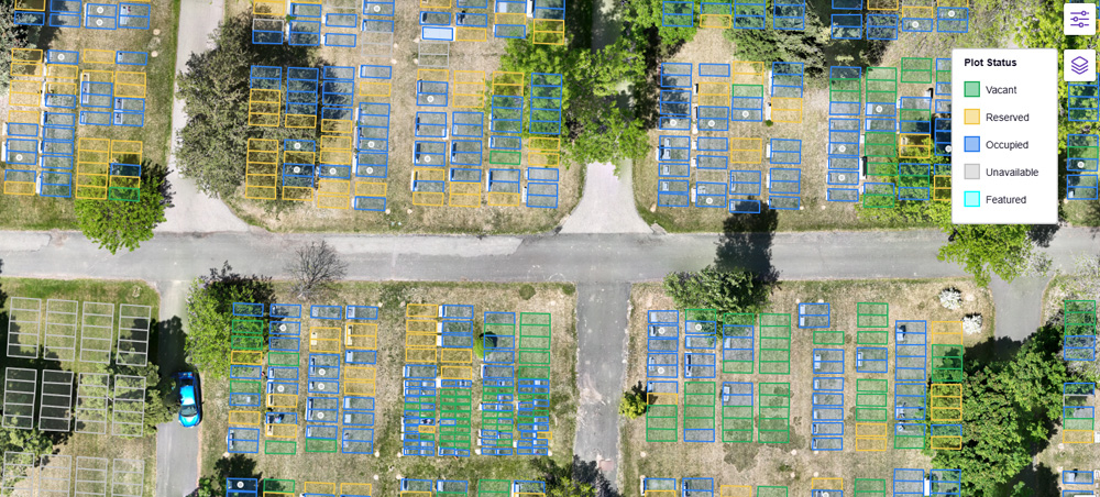
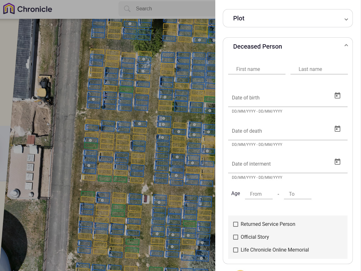
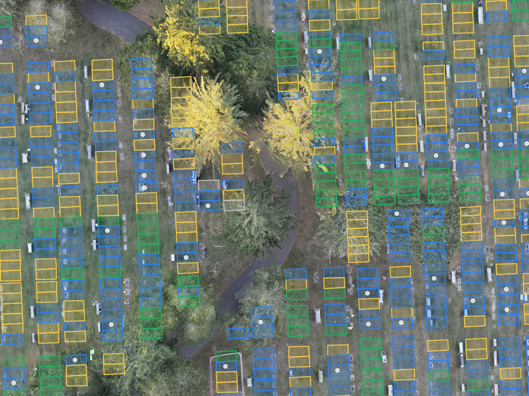
If you run a cemetery, you know how important it is to keep accurate records. Our web maps for cemeteries are designed to provide you with a comprehensive visual layout of your grounds, helping you to make informed decisions for better management. See how our high-quality maps can streamline your operations and improve a visitor’s experience.
Web maps have revolutionized the way we navigate and understand the world around us. This technology has also had a significant impact on the way we manage cemeteries.
FROM START TO FINISH
Navigating a cemetery can be a daunting task, especially if your existing records are incomplete. We understand that each cemetery has its unique needs. With our web maps, navigating your cemetery will become a breeze!
Contact us and our team of experts will answer any questions and discuss your specific needs.
Our experts review your cemetery via Google Earth, and send a proposal within one business day.
We visit your site to start data collection. This may take a day to several weeks depending on the size of your cemetery.
We process the field data and generate digital maps and records. This typically takes about 3 to 12 weeks.
We review the results with you and collect any feedback, corrections, and final approval.
You are sent a physical copy of the map, along with a web map link for easy access.
When it comes to managing a cemetery, having accurate and reliable web maps is essential. That’s where Sentry Mapping comes in.
Digital mapping technologies have transformed how cemeteries are managed. Our digital cemetery platform effectively replaces outdated paper maps with accurate, interactive grave maps. This digital resource ensures that every grave is accounted for with detailed information and an accurate representation of your cemetery’s layout at your fingertips.
The aerial images in our map give you a bird’s-eye view of your cemetery and provide precise plot mapping. This level of detail is crucial for both ongoing management and future planning, so that every decision is based on the most reliable data available.
Our cemetery mapping services are designed to provide additional tools and insights for your cemetery management needs. Contact us today to learn how our web maps for cemeteries and cemetery mapping services can revolutionize the way you manage your property.
Preserving heritage at a 150-year-old cemetery.
Problem:
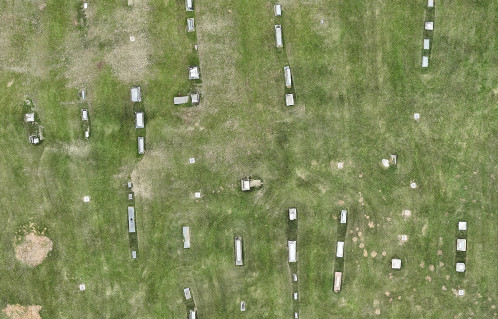
A 150+ year-old historic cemetery faced a significant challenge: it had no records or maps of its burial sites. This lack of documentation left the caretakers unsure about the availability of space for new burials, raising concerns about the preservation of the cemetery’s heritage and the respect due to those interred.
Solution:
Sentry Mapping Services stepped in with a comprehensive approach to solve the cemetery’s challenges. Utilizing advanced Ground Penetrating Radar (GPR) technology, the team meticulously scanned the entire area to locate unmarked graves. This thorough investigation was followed by the creation of a detailed map that not only marked every known burial but also included names, birth and death dates, creating a rich tapestry of the cemetery’s history. To complement this, Sentry Mapping provided a clickable and searchable web map, making navigation and management effortless for the caretakers—all at no additional cost.
Result:
Thanks to Sentry Mapping’s expertise, the cemetery now has a clear understanding of its layout and capacity for future burials. This newfound knowledge ensures that every inch of sacred ground is used respectfully and efficiently, honoring the memory of those at rest. Moreover, the digital tools provided have secured the cemetery’s heritage for future generations, making it easier for families and historians to connect with their past. The once uncertain terrain of the cemetery is now a carefully mapped and cherished space, its legacy preserved and its management streamlined.
Just like any other property, cemeteries need to be designed with the proper planning and forethought. Whatever…
A Guide On How To Own A Cemetery Business Starting your own cemetery can be a very…
What is Ground-Penetrating Radar? Ground-Penetrating Radar, or GPR, is a geophysical locating method that uses radio waves…
Your cemetery deserves a detailed map that shows every burial spot, both marked and unmarked. This makes managing your space easier, saving you time and trouble, and keeps your records up to date without any hassle. Our friendly team is ready to help you with any questions and guide you through every step of the process. Please fill out or form or give us a call at 901-490-6206.