
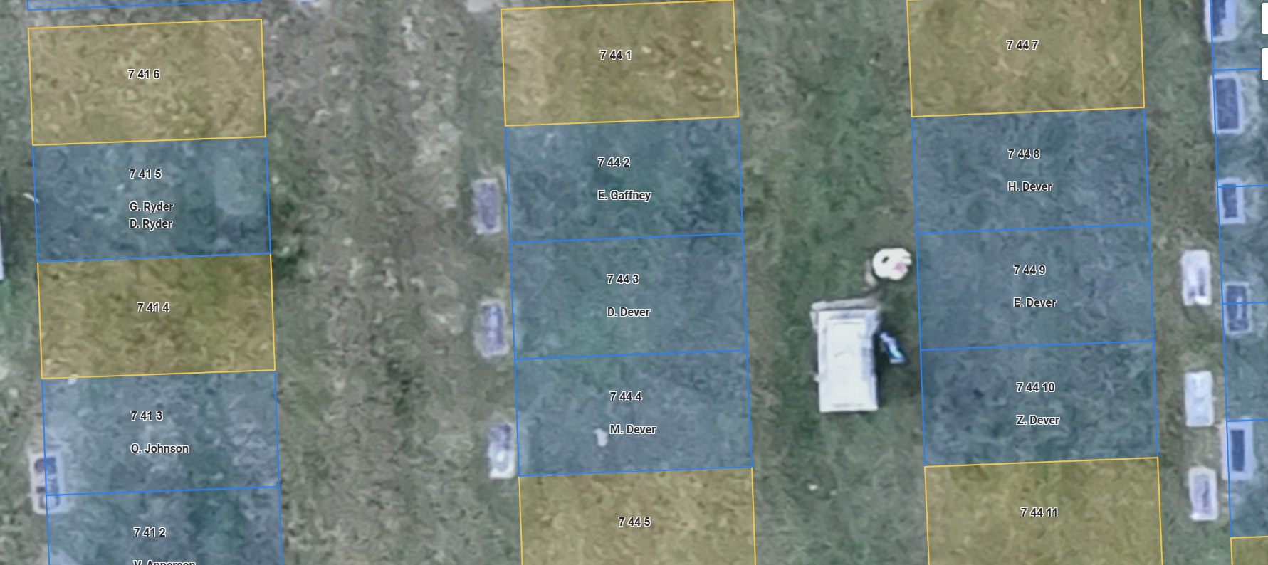


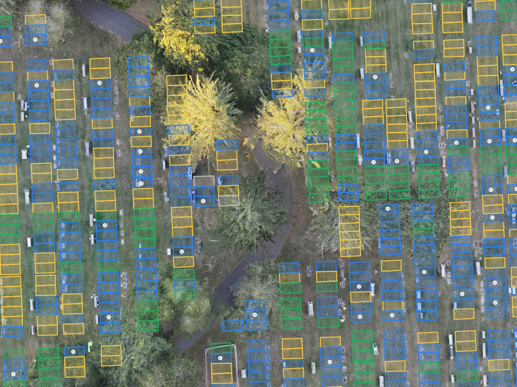
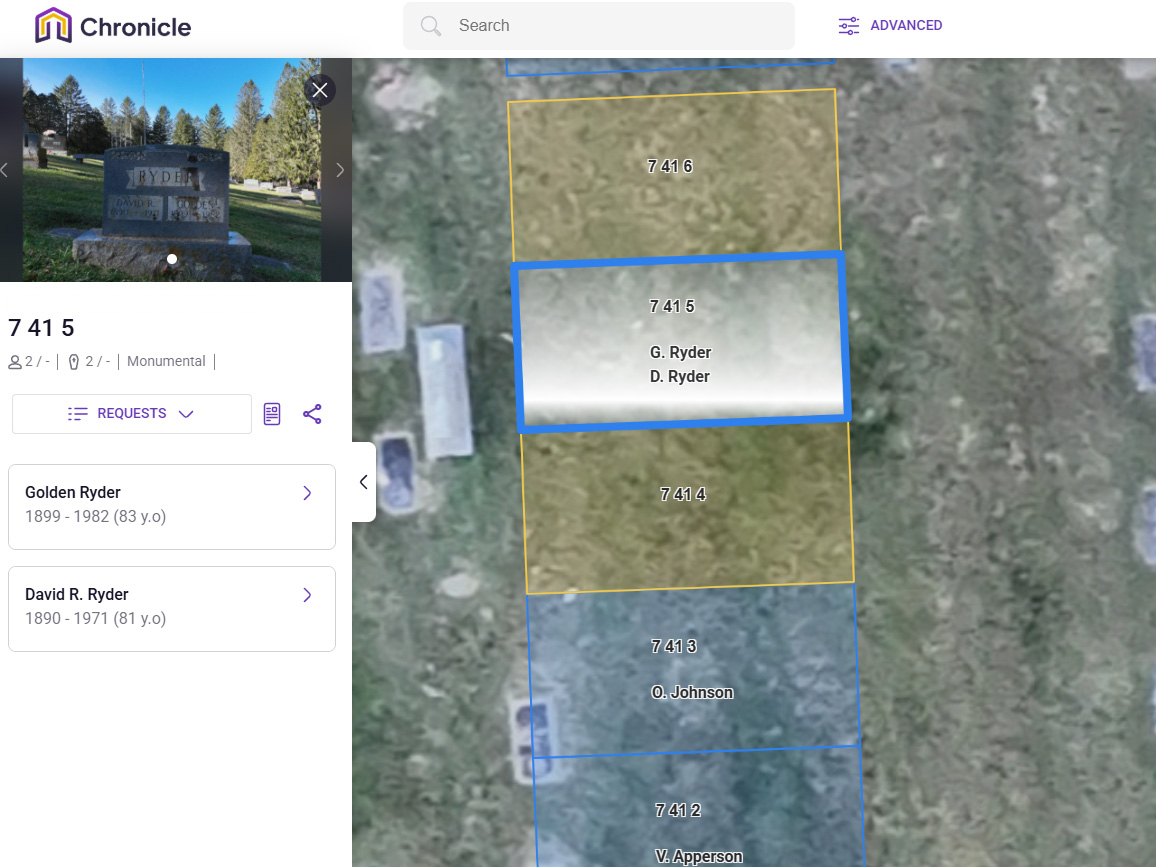


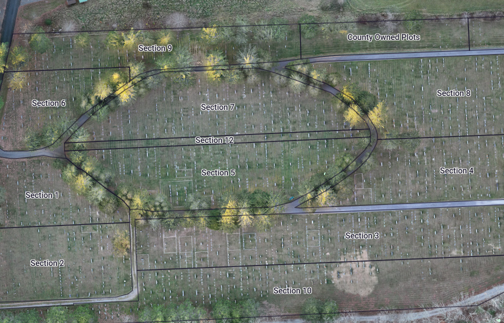


What Is Ground Penetrating Radar (GPR) and How Does It Work?
Quick Answer
Ground Penetrating Radar (GPR) is a non-invasive scanning tool that fires high-frequency radio waves into the soil and listens for echoes. By timing and plotting those reflections, GPR creates a subsurface image that pinpoints underground objects, layers, or voids—such as marked or unmarked graves—without any digging or damage.
Detailed Answer
Ground penetrating radar sends a quick radio pulse, from 1 to 1000MHz, into the ground. When the pul…Read Full Answer

